In an era defined by rapid environmental change and growing concerns about sustainability, the need for accurate, timely, and actionable data has never been greater. Enter remote sensing and Geographic Information Systems (GIS), two powerful technologies that are revolutionizing our ability to monitor, analyze, and address global environmental challenges. From tracking deforestation and managing natural disasters to combating climate change and conserving biodiversity, remote sensing and GIS are proving to be indispensable tools in the fight to protect our planet.
This article explores the rise of remote sensing, the role of GIS in environmental management, and how these technologies are being used to solve some of the world’s most pressing ecological problems.
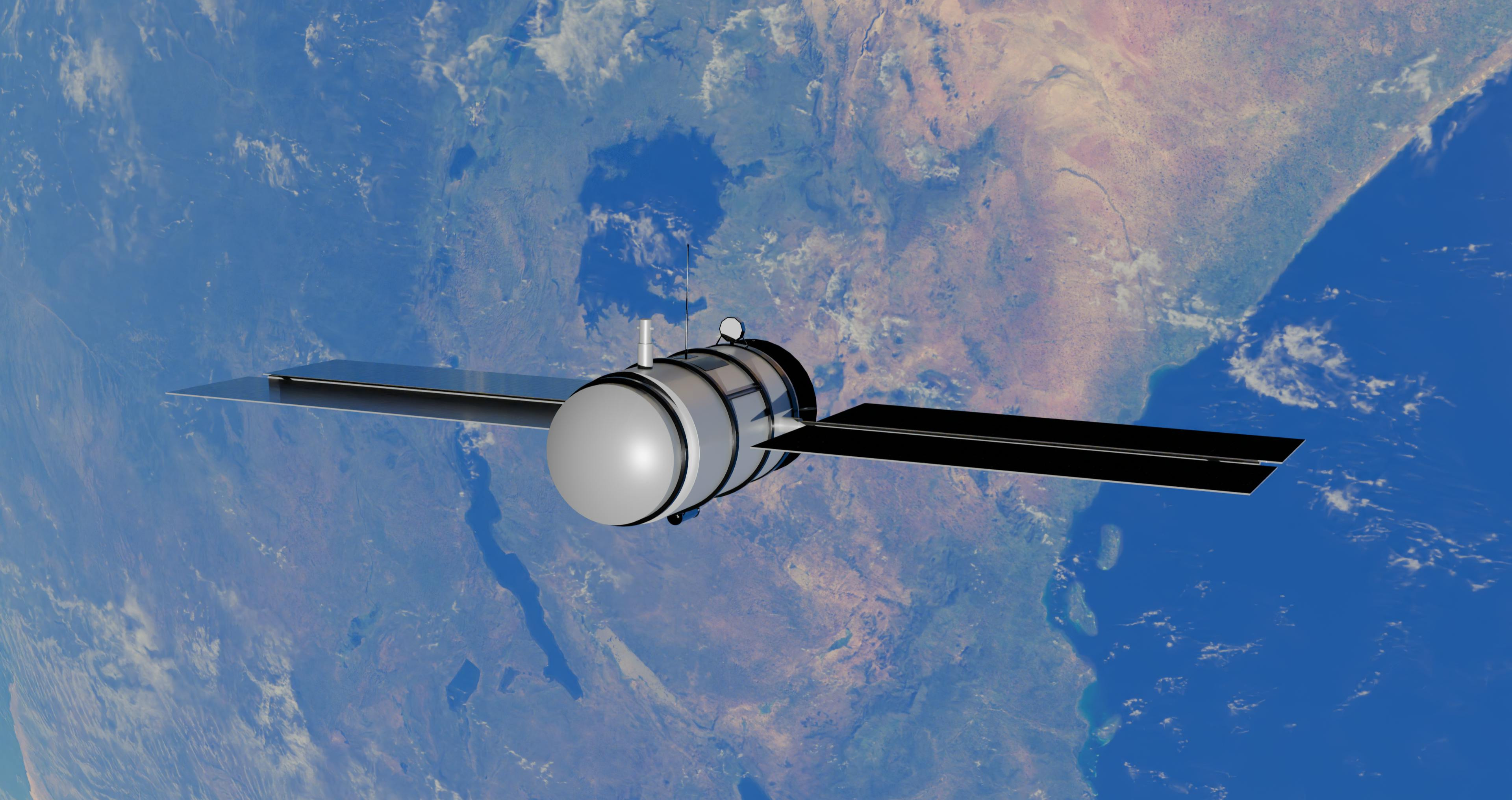
Remote sensing is the science of obtaining information about objects or areas from a distance, typically using satellites, aircraft, drones, or ground-based sensors. These tools capture data in various forms, including visible light, infrared, and microwave radiation, which can then be analyzed to monitor environmental changes.
When combined with Geographic Information Systems (GIS)—a framework for gathering, managing, and analyzing spatial and geographic data—remote sensing becomes a powerful tool for understanding and addressing complex environmental issues.
The origins of remote sensing date back to the early 20th century, with the use of aerial photography for mapping and military purposes. However, the launch of the first Earth-observing satellites in the 1970s marked a turning point, enabling scientists to monitor the planet on a global scale.
Over the past few decades, advancements in satellite technology, data processing, and machine learning have dramatically expanded the capabilities of remote sensing. Today, satellites like Landsat, Sentinel, and MODIS provide high-resolution imagery and data on everything from land use and vegetation cover to ocean temperatures and atmospheric composition.
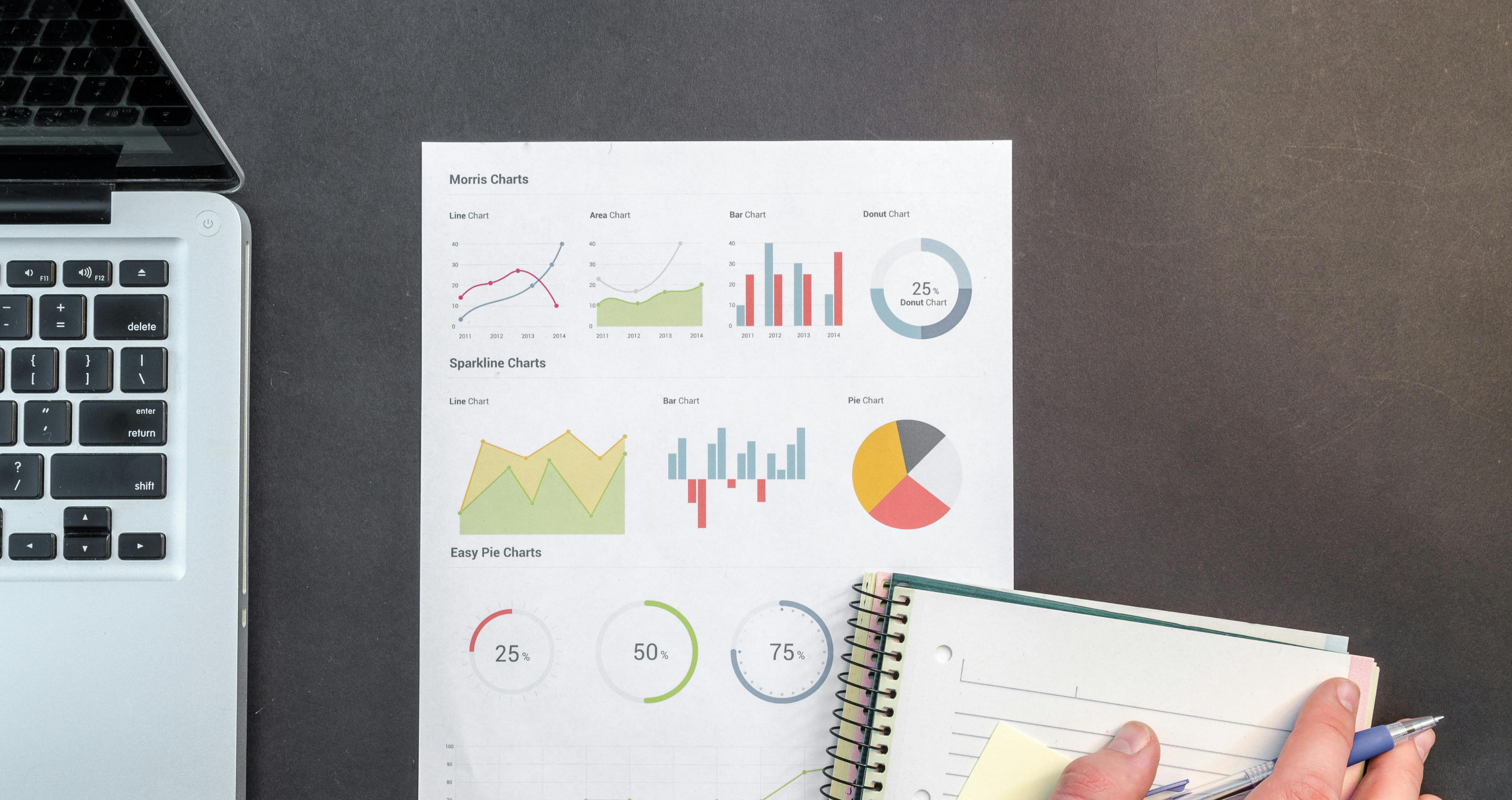
GIS, meanwhile, has evolved from a niche tool used by cartographers and geographers to a mainstream technology employed by governments, businesses, and researchers worldwide. Modern GIS platforms, such as ArcGIS and QGIS, allow users to integrate, visualize, and analyze spatial data in ways that were unimaginable just a few decades ago.
The combination of remote sensing and GIS is being used to tackle a wide range of environmental challenges. Here are some of the most impactful applications:
Deforestation is a major driver of climate change, biodiversity loss, and habitat destruction. Remote sensing satellites provide real-time data on forest cover, enabling researchers and policymakers to track deforestation rates, identify hotspots, and enforce conservation efforts.
For example, the Global Forest Watch platform uses satellite imagery and GIS to monitor deforestation in near real-time. This tool has been instrumental in holding governments and corporations accountable for illegal logging and land clearing.
Natural disasters such as hurricanes, floods, and wildfires are becoming more frequent and severe due to climate change. Remote sensing and GIS play a critical role in disaster preparedness, response, and recovery.
During a disaster, satellites can provide rapid assessments of damage, helping emergency responders prioritize areas in need of assistance. GIS platforms can then be used to map affected areas, plan evacuation routes, and coordinate relief efforts. For instance, after the 2010 Haiti earthquake, GIS was used to map the distribution of aid and identify areas at risk of landslides.
Remote sensing is essential for monitoring the impacts of climate change, from rising sea levels and melting glaciers to shifting weather patterns. Satellites like NASA’s GRACE and ESA’s CryoSat provide data on ice sheet thickness and ocean temperatures, helping scientists understand the dynamics of climate change.
GIS tools enable researchers to model future climate scenarios and assess the vulnerability of different regions. This information is crucial for developing adaptation strategies and mitigating the impacts of climate change.
Water scarcity is a growing concern in many parts of the world. Remote sensing satellites monitor water bodies, track changes in water levels, and detect pollution. GIS is used to map watersheds, analyze water quality, and plan sustainable water management practices.
For example, the Copernicus Water Monitoring Service uses satellite data to provide information on water resources across Europe, supporting efforts to ensure water security and protect aquatic ecosystems.
Remote sensing and GIS are invaluable tools for conserving biodiversity and protecting endangered species. Satellites can monitor habitats, track wildlife populations, and detect illegal activities such as poaching and habitat destruction.
In Africa, GIS has been used to map elephant migration routes and identify areas where human-wildlife conflict is likely to occur. This information helps conservationists design strategies to protect both wildlife and local communities.
As urbanization accelerates, remote sensing and GIS are being used to plan sustainable cities and manage urban growth. Satellite imagery provides data on land use, population density, and infrastructure, while GIS tools enable planners to model urban expansion and assess its environmental impact.
For instance, the World Bank’s Urban Resilience Program uses GIS to help cities in developing countries plan for climate resilience and reduce disaster risk.
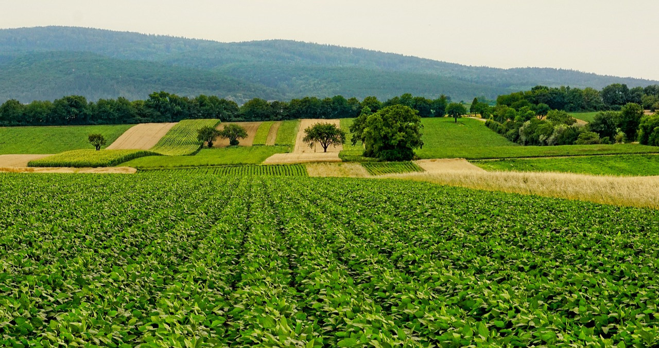
Remote sensing is transforming agriculture by providing data on soil moisture, crop health, and pest infestations. This information helps farmers optimize irrigation, reduce input costs, and increase yields.
GIS tools are used to map agricultural landscapes, analyze soil conditions, and predict crop performance. In India, the National Remote Sensing Centre (NRSC) uses satellite data to provide crop forecasts and support food security initiatives.
While remote sensing and GIS offer immense potential, they are not without challenges:
Data Accessibility and Cost: High-resolution satellite imagery and advanced GIS software can be expensive, limiting access for developing countries and small organizations.
Technical Expertise: Analyzing remote sensing data and using GIS tools requires specialized skills, which may not be available in all regions.
Data Integration: Combining data from different sources and formats can be complex and time-consuming.
Ethical Concerns: The use of remote sensing for surveillance and monitoring raises privacy and ethical issues that must be addressed.
The future of remote sensing and GIS is bright, driven by advancements in technology and growing demand for environmental solutions. Emerging trends include:
High-Resolution Satellites: New satellites with higher resolution and more frequent revisit times will provide even more detailed and timely data.
Artificial Intelligence and Machine Learning: AI-powered tools are enhancing the ability to analyze large datasets and extract actionable insights.
Citizen Science: Platforms like Google Earth Engine are democratizing access to remote sensing data, enabling citizens and researchers to collaborate on environmental projects.
Integration with IoT: The Internet of Things (IoT) is enabling real-time data collection from ground-based sensors, complementing satellite data.
Remote sensing and GIS are more than just technologies—they are catalysts for change. By providing a clearer understanding of our planet and its challenges, these tools empower us to make informed decisions and take meaningful action.
From protecting forests and managing disasters to conserving biodiversity and ensuring food security, remote sensing and GIS are at the forefront of efforts to build a more sustainable and resilient world. As we face the growing impacts of climate change and environmental degradation, these technologies will continue to play a vital role in shaping a better future for all.
The rise of remote sensing is not just a scientific achievement—it is a testament to humanity’s ability to innovate and adapt in the face of adversity. By harnessing the power of these tools, we can rise to the challenge of protecting our planet and ensuring a sustainable future for generations to come.
Armstrong Global Institute
Typically replies in minutes